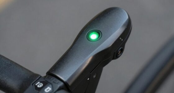
For cyclists, using multiple satellite systems like GPS, GLONASS, and Galileo improves navigation accuracy and signal reliability. GPS is common but offers around 5 meters of accuracy, while Galileo can give you closer to 1 meter in good conditions. GLONASS performs well in northern areas and high latitudes. Combining these systems helps you get better signals in challenging environments, so supporting all three guarantees more precise and dependable routes. Exploring this further can enhance your cycling experience.
Key Takeaways
- Combining GPS, GLONASS, and Galileo improves accuracy and reliability, especially in urban or challenging environments.
- Galileo offers the highest precision, often reaching 1 meter, beneficial for detailed cycling navigation.
- GLONASS performs better at high latitudes, ideal for northern regions and polar cycling routes.
- Updating device firmware ensures compatibility with all satellite systems, maximizing navigation performance.
- Multi-constellation support reduces signal loss, providing more consistent positioning during cycling adventures.

Handheld GPS for Hiking, Rugged and Waterproof Handheld GPS Navigator, 3.2" Sunlight Readable Screen, Compact Satellite Handheld GPS with USA Topo Map, Multi-GNSS Support, Extra Battery Life
- Compact and Lightweight Design: Anti-slip, easy to carry
- Sunlight Readable 3.2" Screen: Clear visibility in bright sunlight
- Physical Buttons for Versatility: Operate in any conditions
As an affiliate, we earn on qualifying purchases.
As an affiliate, we earn on qualifying purchases.
How Satellite Systems Affect Cycling Navigation
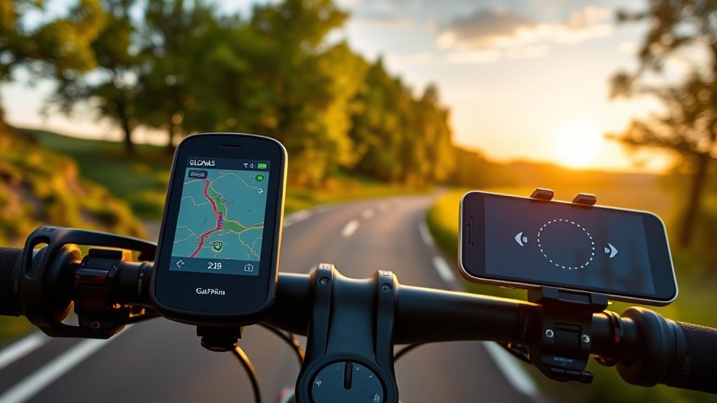
Ever wondered how different satellite systems impact your cycling navigation? It all comes down to satellite systems like GPS, GLONASS, and Galileo, which use GNSS technology to improve positioning. Combining these systems boosts accuracy by increasing satellite availability and optimizing satellite geometry. Galileo often provides higher positional precision—up to one meter—helping you navigate detailed routes and track accurately. GLONASS excels at high latitudes, making it ideal for northern regions. Using multiple satellite systems also reduces signal loss, especially in challenging environments like urban canyons or dense forests. To get the most out of your cycling navigation, make sure your device firmware is up to date and configured correctly, enabling it to maximize the benefits of these satellite systems for reliable, accurate positioning. Additionally, understanding the compatibility of satellite systems can help you choose the best device for your specific cycling needs.
Comparing Accuracy and Performance of GPS, GLONASS, and Galileo
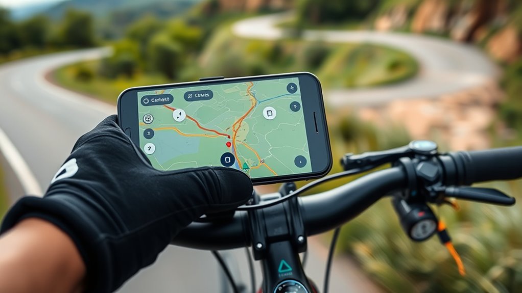
When evaluating satellite navigation options for cycling, understanding how GPS, GLONASS, and Galileo compare in accuracy and performance helps you choose the right system. GPS typically offers around 5 meters of accuracy, while Galileo can reach up to 1 meter in ideal conditions, providing superior positioning precision. GLONASS performs better at higher latitudes, such as near the poles, thanks to its satellite constellation designed for northern regions. Combining GPS with Galileo improves signal quality, resulting in faster fix times and better accuracy, especially in urban environments with signal obstructions. Galileo’s advanced civil signals and high-precision capabilities make it particularly effective in cities, where satellite signals can be blocked or weakened. Additionally, maximizing space and organization techniques like combining multiple satellite systems can further enhance navigation reliability by reducing signal dropouts. Utilizing satellite constellation data from multiple systems ensures more consistent coverage across different environments. Overall, Galileo often outperforms GPS and GLONASS in densely covered areas, enhancing your navigation experience.
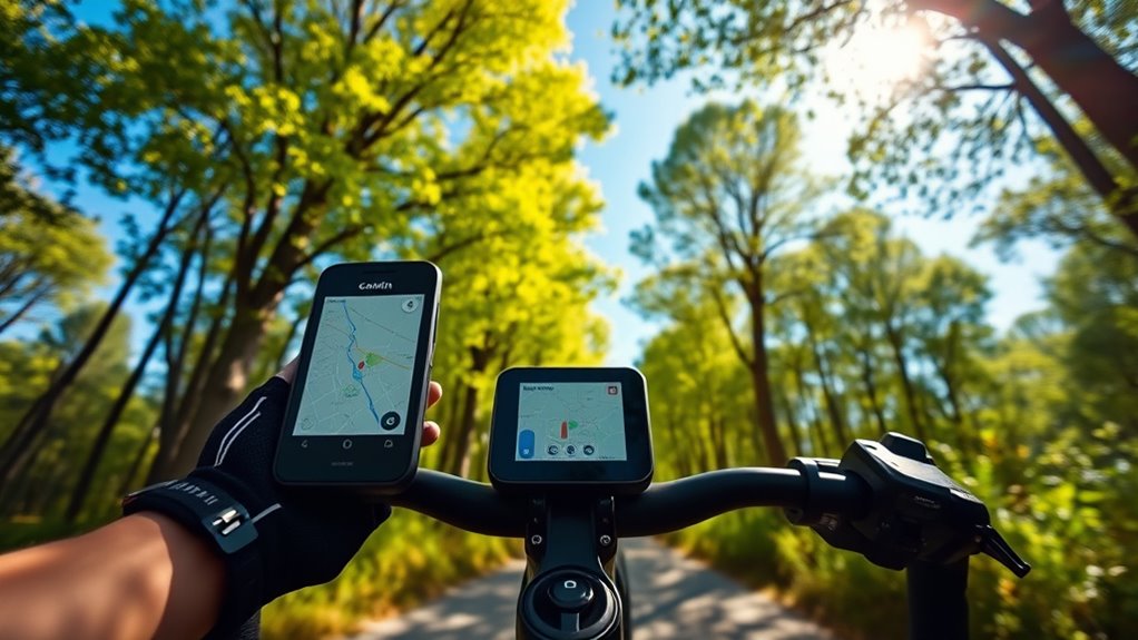
Compatibility and Firmware Updates for Cyclists’ Devices

Ensuring your cycling device supports Galileo requires keeping its firmware up-to-date, as manufacturers often release updates that enable new satellite system functionalities. Firmware updates via Garmin Express or similar software are essential for compatible devices to access Galileo support. Many Garmin GPS devices, like the Edge 1030, need firmware versions 8.x or later to display the Galileo satellite system menu. Updating firmware may involve downloading specific files, renaming them, and transferring them to the device’s system folders, especially on Linux systems. Without proper updates, your device might lack the Galileo option or fail to support Galileo satellites altogether. Regularly syncing your device with Garmin Express or WiFi ensures firmware is current, *unlocking* enhanced satellite system support and improving cycling navigation accuracy. Additionally, firmware updates are crucial for maintaining overall device performance and security. Staying informed about satellite system compatibility can help you optimize your device’s navigation capabilities. A thorough understanding of GPS technology can further assist in making the most of your device’s features. Recognizing the importance of international satellite systems can also help you better understand how multiple constellations improve positioning accuracy worldwide.
Regional Variations and Environmental Factors Influencing Signals

The performance of satellite navigation systems varies considerably depending on your geographic location and surrounding environment. In dense urban areas, tall buildings cause signal obstruction and multipath errors, reducing satellite signals and harming positioning accuracy. Environmental factors like heavy foliage, weather conditions, and tall structures can further weaken signal strength. High-latitude regions, such as northern Europe and polar areas, benefit from GLONASS’s better satellite coverage, making it more reliable there. Meanwhile, Galileo offers superior accuracy, especially in urban environments and Europe, often achieving around 1 meter of precision. Your geographic location plays an important role in satellite signals, with regional coverage differences playing a vital role. Understanding these regional and environmental variations helps you optimize your cycling navigation, ensuring better signal quality and more reliable positioning. Additionally, advancements in automation technology are improving the integration and performance of these satellite systems, providing more consistent navigation experiences. Recognizing regional differences in satellite coverage can help you choose the most effective system for your specific area. Moreover, environmental conditions such as weather impacts can temporarily alter signal performance, emphasizing the importance of selecting the right system for your environment. Being aware of signal interference caused by urban construction or atmospheric disturbances can further aid in maintaining accurate navigation.
Choosing the Best GNSS Setup for Your Cycling Adventures
Choosing the best GNSS setup for your cycling adventures depends on balancing device capabilities and environmental conditions. Combining multiple GNSS, like GPS, GLONASS, and Galileo, boosts satellite signals, improving accuracy and signal acquisition, especially in urban areas with limited coverage. Galileo support, when enabled through firmware updates, can deliver around 1-meter precision, enhancing cycling navigation and tracking. Be sure your device supports multiple GNSS and is properly configured to maximize benefits. In regions with high satellite coverage, Galileo excels, but in challenging environments, a mix of systems offers more reliable positioning. Keep firmware updated to reveal full system support and guarantee optimal satellite signal reception. A well-chosen GNSS setup ensures precise, consistent navigation on every ride.
Frequently Asked Questions
Am I Using GPS or Galileo?
You’re wondering if you’re using GPS or Galileo. Check your device’s satellite system menu or settings; it often shows the active constellation. On Garmin devices, update firmware via Garmin Express to enable Galileo, then look for “GALILEO” labels. Some devices automatically pick the best system, but you can manually select GPS or Galileo if supported. Use compatible apps or GPS logs for detailed satellite data.
Can You USe GLONASS in the US?
Think of maneuvering the US as a dance on a well-lit stage—GLONASS acts like an extra spotlight, helping you find your steps more precisely. You can definitely use GLONASS in the US; there are no restrictions. If your device supports multi-GNSS, it’ll seamlessly blend signals, boosting accuracy. So, whether you’re weaving through city streets or exploring off-road trails, GLONASS is your reliable partner, guiding you every mile.
What Is the Disadvantage of GLONASS?
You should know that GLONASS has some disadvantages. Its signals are generally weaker than GPS, which means you’re more likely to face issues with reception, especially in areas with obstructions like tall buildings or dense trees. Plus, it consumes more battery, reducing device longevity. In challenging conditions or at high latitudes, GLONASS may also provide less accurate positioning due to fewer satellites and signal quality issues.
What Is the Best GPS Positioning Service?
Think of choosing a GPS service like picking the clearest window to see outside. GPS combined with Galileo offers the best accuracy, about 1 meter, especially where satellite signals are strong. It’s faster and more reliable, helping you navigate precisely. Using devices that support both guarantees better coverage and reduces errors, so you can ride with confidence, knowing your position is spot on, no matter where your ride takes you.
Conclusion
Think of your cycling navigation as a trusted compass guiding you through uncharted territory. By understanding the strengths of GPS, GLONASS, and Galileo, you can tailor your setup to stay on course no matter where your rides take you. Just like a skilled navigator, choosing the right satellite system guarantees you navigate with confidence, accuracy, and ease. With the right tools, your adventures become a seamless journey, turning every ride into a smooth sail across the open road.