To understand a bike map, look for symbols that show bike lanes, paths, and crossings, and note color codes for safety levels. Recognize icons indicating points of interest, hazards, or terrain changes, like hills or rugged areas. Pay attention to safety symbols such as warning or construction signs to plan a secure route. If you keep exploring, you’ll discover even more tips to navigate efficiently and stay safe on your ride.
Key Takeaways
- Identify bike route symbols such as bike lanes, shared paths, and dedicated cycling routes to navigate safely.
- Use color coding and icons indicating safety levels, points of interest, and hazards for effective route planning.
- Recognize elevation and terrain symbols to assess trail difficulty and prepare accordingly.
- Look for safety-related symbols like construction warnings, crossings, and hazard alerts to avoid dangers.
- Combine map cues to select optimal routes that match your experience, interests, and safety considerations.
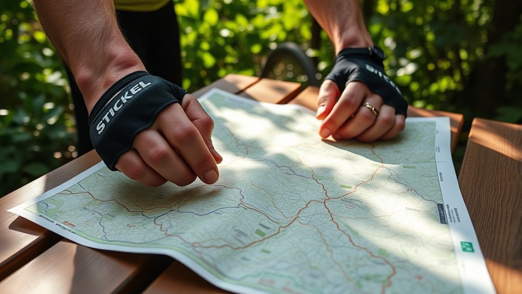
Reading a bike map might seem straightforward at first, but understanding its symbols and layout is essential for a smooth ride. When you’re steering through unfamiliar trails or city routes, knowing how to interpret the map’s symbols can make all the difference in ensuring your safety and enjoyment. Bike safety is always a top priority, and correctly reading a map helps you stay on designated paths, avoid hazards, and plan your route effectively. Each map uses a variety of symbols to convey important information quickly, so familiarizing yourself with these signs is key.
Understanding bike map symbols ensures safe, efficient routes and enhances your riding experience.
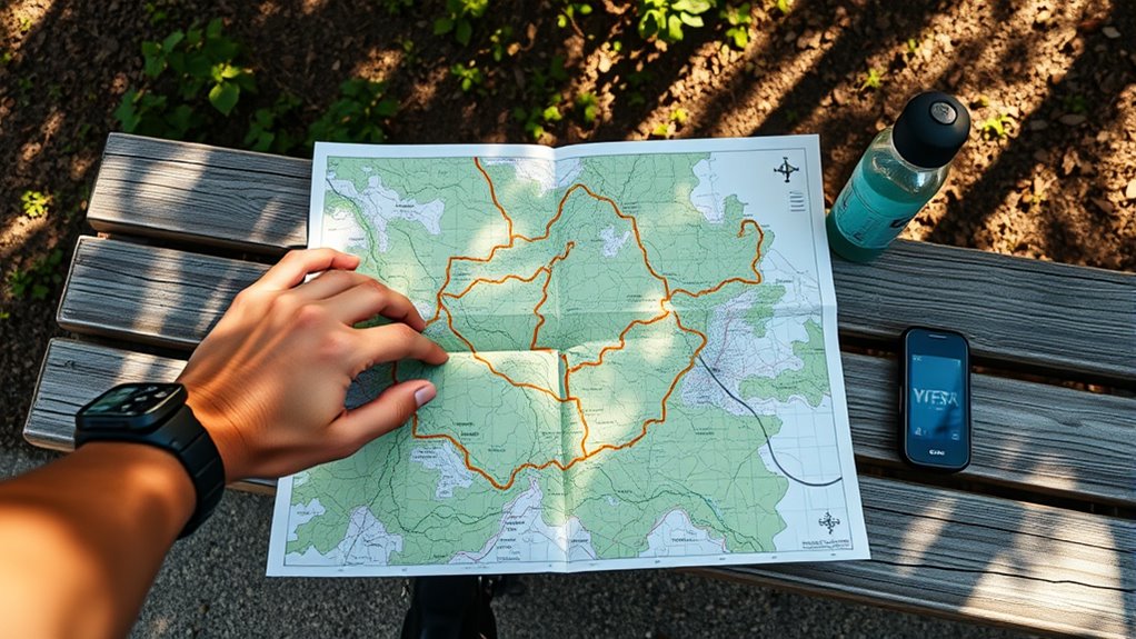
Typically, bike maps feature symbols that indicate bike lanes, shared paths, or dedicated cycling routes. Look for icons like a bicycle silhouette or lane markings to identify the safest and most bike-friendly routes. Some maps also use color coding—green might denote bike paths, while red could warn of busy roads or areas to approach with caution. Pay close attention to these visual cues; they help you decide whether to take a safer route or explore a more direct path. Recognizing map symbols related to intersections, crossings, or bridges also helps you anticipate upcoming changes in terrain and avoid surprises during your ride.
Another important aspect is understanding symbols that mark points of interest or facilities such as bike shops, rest areas, water fountains, or repair stations. These are invaluable when planning longer rides or when you need support along the way. Many maps include symbols for elevation changes, steep inclines, or rough terrain—vital information for evaluating your fitness level or bike capability. If you see a symbol indicating a hill or rugged trail, you can decide whether to prepare for a challenging ride or choose a different route.
Additionally, take note of any warning symbols indicating construction zones, road closures, or dangerous conditions. These symbols are there to keep you safe, so don’t ignore them. Map symbols related to traffic signals, stop signs, or crossings also inform you about how to steer through intersections safely. Using these symbols as your guide, you can plan a route that prioritizes bike safety, avoiding busy roads or hazardous areas whenever possible. Moreover, understanding that indoor air quality can be significantly worse than outdoor air underscores the importance of choosing routes that avoid pollution-heavy streets when possible.
Frequently Asked Questions
How Often Are Bike Maps Updated for Accuracy?
Bike maps are typically updated every 1 to 2 years to guarantee accuracy. You should check the map update frequency for your specific area, as some regions update more often to reflect new bike lanes or trail changes. Accuracy improvement methods include community feedback, regular inspections, and integrating new data from local authorities. Staying updated with the latest maps helps you navigate safely and confidently on your bike rides.
Can I Access Bike Maps Digitally or Only in Print?
Did you know over 60% of cyclists prefer digital maps for convenience? You can access bike maps digitally through apps or online platforms, making navigation easier on the go. While print availability remains, digital access offers real-time updates and interactive features. Whether you prefer a printed map or a digital version, both options are available to help you plan your routes efficiently and stay safe during your ride.
Are Bike Maps Suitable for All Skill Levels?
Bike maps are suitable for all skill levels because they include bike map legends that clearly indicate trail difficulty. Whether you’re a beginner or an experienced rider, you can easily find routes that match your comfort and skill. By paying attention to the legend, you’ll know which trails are easy, moderate, or advanced, helping you choose the right path and enjoy your ride safely and confidently.
How Do I Interpret Elevation or Slope Indicators?
Ever notice those lines or color gradients on your bike map? That’s your clue for gradient interpretation, showing slope difficulty. Steeper lines or darker shades mean a tougher ascent, while gentler slopes are easier. When you understand these indicators, you can plan your route accordingly, avoiding overly challenging climbs or seeking out scenic hilltops. Use this visual info to match your skill level and make your ride safer and more enjoyable.
What Should I Do if a Bike Map Is Missing Key Routes?
If a bike map is missing key routes, don’t panic. Use the map legends to identify alternative routes and landmarks nearby. You can also ask locals or fellow cyclists for suggestions on alternate paths. Carry a GPS device or use your phone’s map app for real-time guidance. Remember, staying flexible and exploring alternate routes guarantees you reach your destination safely, even if some routes aren’t marked clearly.
Conclusion
Now that you know how to read a bike map, you’re ready to explore new trails with confidence. Remember, just like the pioneering explorers of the Oregon Trail, you’ll rely on your map to guide you through unfamiliar terrain. Keep it handy, stay alert, and enjoy the ride. Before long, you’ll be orienting yourself with the skill of a seasoned cartographer, uncovering hidden gems and making every ride an adventure worth remembering.